
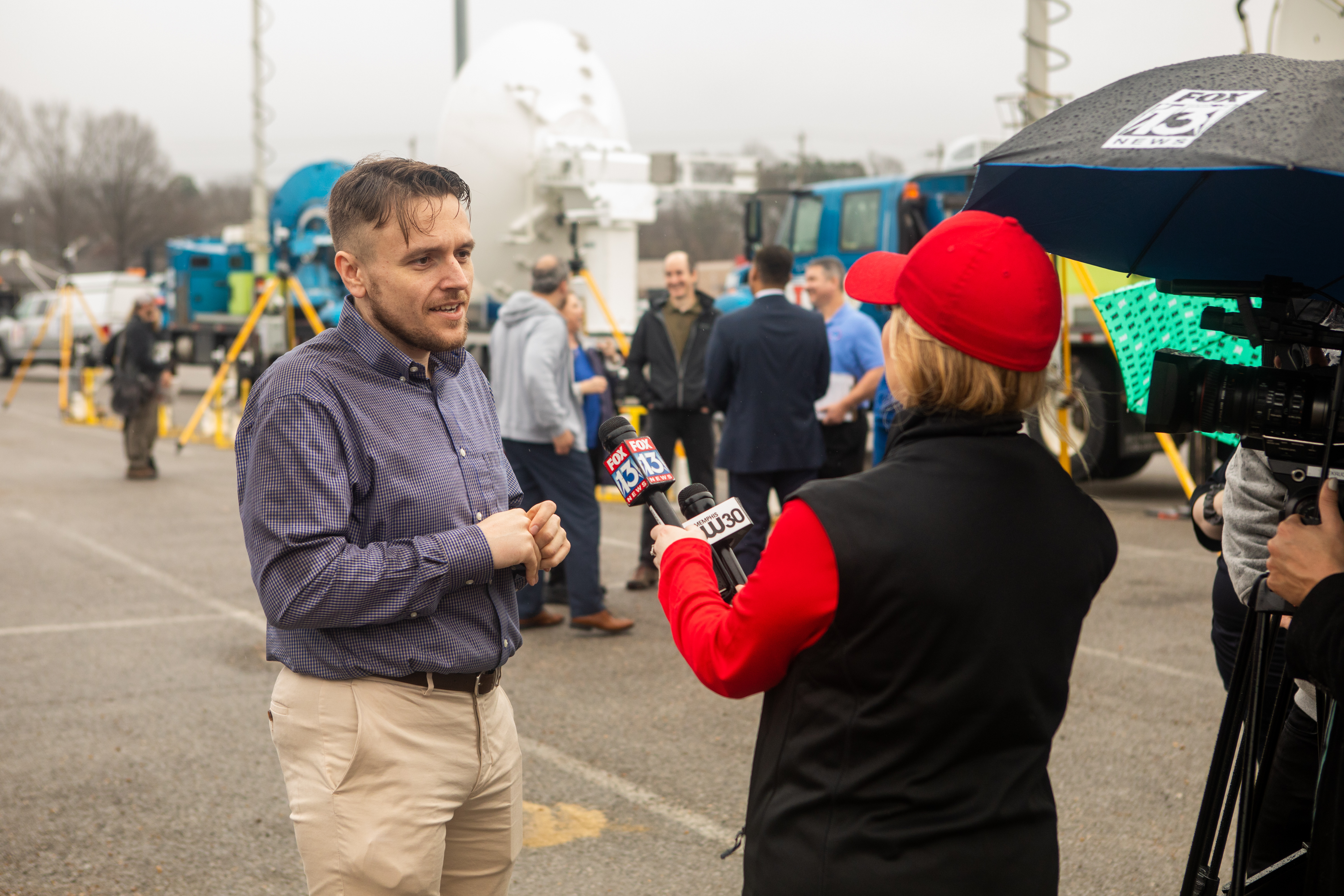
Hundreds of research scientists from across the country will track severe storms this spring in an attempt to better understand how prominent tornadoes in the southeastern United States form.
PERiLS (Propagation, Evolution and Rotation in Linear Storms) is one of the largest and most comprehensive field studies of its kind, examining the conditions before, during and after quasi-linear convective storms – commonly known as squall lines – that produce tornadoes. Funded by the National Science Foundation and the National Oceanic and Atmospheric Administration, PERiLS includes a two-year field campaign, which ran March through April in 2022, and will expand to Feb. 8 to May 8 this year. The project includes the expertise and data collection of researchers from 13 government entities and universities, as well as National Weather Service forecasters in the Southeast.
Anthony Lyza is a PERiLS coordinating scientist and postdoctoral research associate with NOAA’s Cooperative Institute for Severe and High-Impact Weather Research and Operations (CIWRO) at the University of Oklahoma. Lyza says researchers have a lot to learn about squall-line tornadoes, which can form quickly in the fall, summer and winter months in the Southeast.
“PERiLS is studying long lines of storms that produce tornadoes. Most of the field work studying tornadoes has been on the Great Plains, the isolated supercells,” Lyza said. “The Southeast is a more vulnerable part of the country because of population density, increased pockets of poverty and manufactured housing, and the fact that a lot of tornadoes there happen at night.”
Lyza said the geography and timing of Southeast squall-line severe storms brings unique challenges to the research.
“Often in the Great Plains you get into a pattern of several days in a row of severe storms, with tornadoes here and there. In the Southeast, severe weather happens earlier in the year. It’s driven by bigger waves in the jet stream, so you get maybe one or two days of severe weather spreading from the Plains into the Midwest and Southeast, with a week or more of a break in between systems,” Lyza said. “In the Southeast, you don’t have the benefit of the wide open plains and broad daylight for observing storms. You have hills, trees, mountains, and higher population density and a substantial fraction of nighttime tornadoes.”
For each intensive observing period (IOP), scientists must decide on the site of possible storms 36 to 48 hours in advance to cast a net of coverage, which can spread up to 150 kilometers long by 80 kilometers wide. Instruments collecting data include a variety of radar and lidar vehicles, mobile mesonets with radiosonde capabilities, lightning mapping array stations and uncrewed aircraft systems. Scientists will position radars into multi-Doppler coverage, giving them a more complete look at the environment and how it evolves as storms approach.
“Multi-Doppler analysis records wind data from two or more radars. Instead of just looking along one radar beam and only getting wind speed and direction along that beam, we can use data from two or more radars to estimate the wind field in all three dimensions,” Lyza said. “The multi-Doppler analysis is especially focused on the line of the storms themselves.”
Lyza said the PERiLS mission last year was remarkably successful. The field study recorded a total of 16 tornadoes within the multi-Doppler coverage. Damage surveys confirmed a total of five significant tornadoes, rated EF2 to EF3, which occurred across three of the four IOPs. PERiLS is funded by the National Science Foundation (NSF) and NOAA and is part of the VORTEX-USA project. Scientists in the campaign work in up to 30 teams, deploying dozens of instruments to measure the atmosphere near and inside storms across seven states. The boundaries of the mission range from the Missouri Bootheel southward to the Gulf Coast, and from the mid-and lower-Mississippi Valley eastward to the foothills of the Appalachian Mountains.
PERiLS participants include NSF, NOAA National Severe Storms Laboratory, NOAA Physical Sciences Laboratory, NOAA Global Systems Laboratory, University of Oklahoma (CIWRO), University of Alabama in Huntsville, University of Louisiana at Monroe, Purdue University, Texas Tech University, Pennsylvania State University, SUNY Stony Brook University, University of Illinois at Urbana-Champaign, and North Carolina State University.