Please resize your screen in order to view site.

mPING
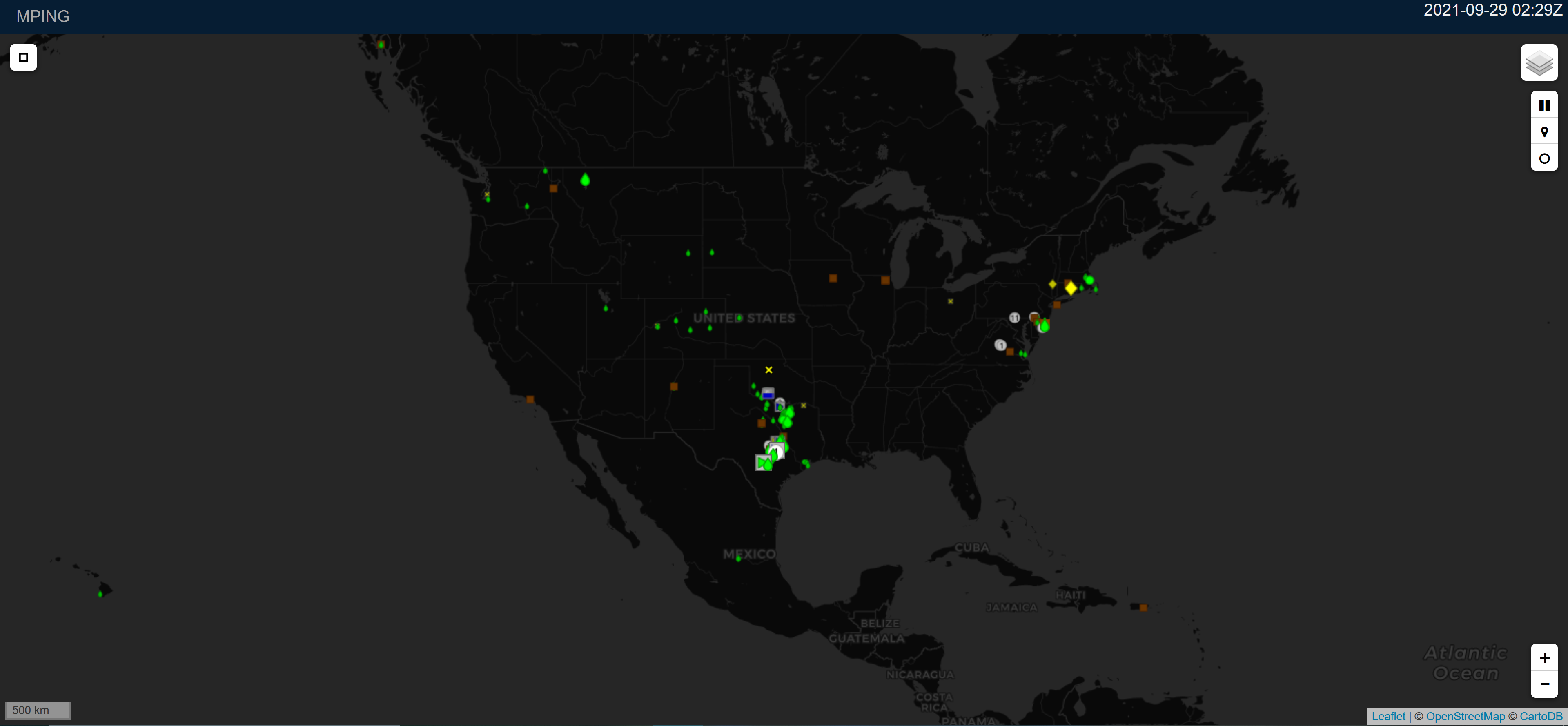
Meteorological Phenomena Identification Near the Ground (mPING) is a project designed to collect weather information from the public through smart phones or mobile devices with GPS location capabilities. Citizen scientists from around the world are invited to take part in this award-winning research.
link to more info (https://mping.ou.edu/)MRMS
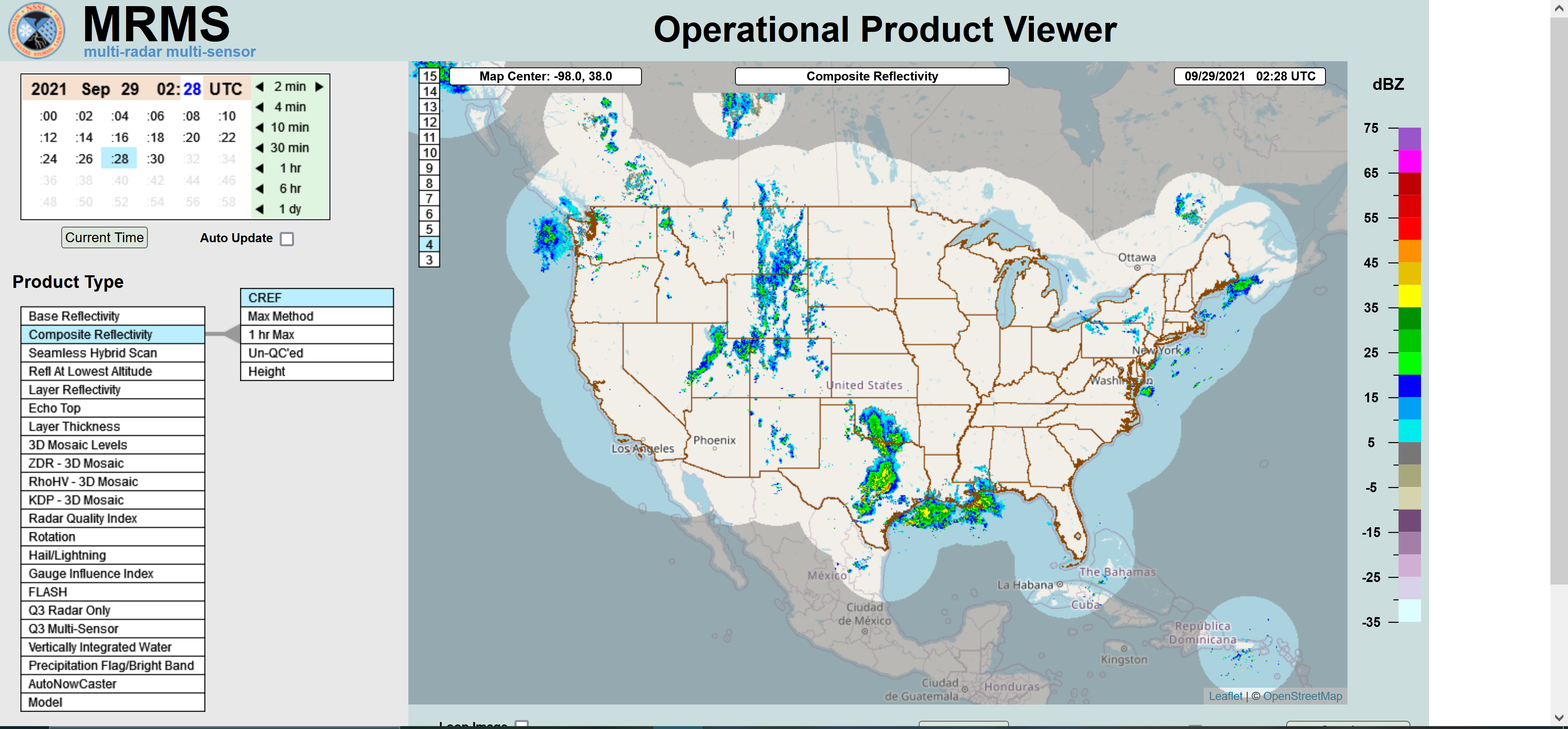
The Multi-Radar Multi-Sensor system quickly harnesses weather data from multiple sources, intelligently integrates the information, and provides a detailed picture of the current weather, improving the ability of forecasters to issue public warnings and advisories for severe weather.
link to more info (https://mrms.nssl.noaa.gov/)MYRORSS
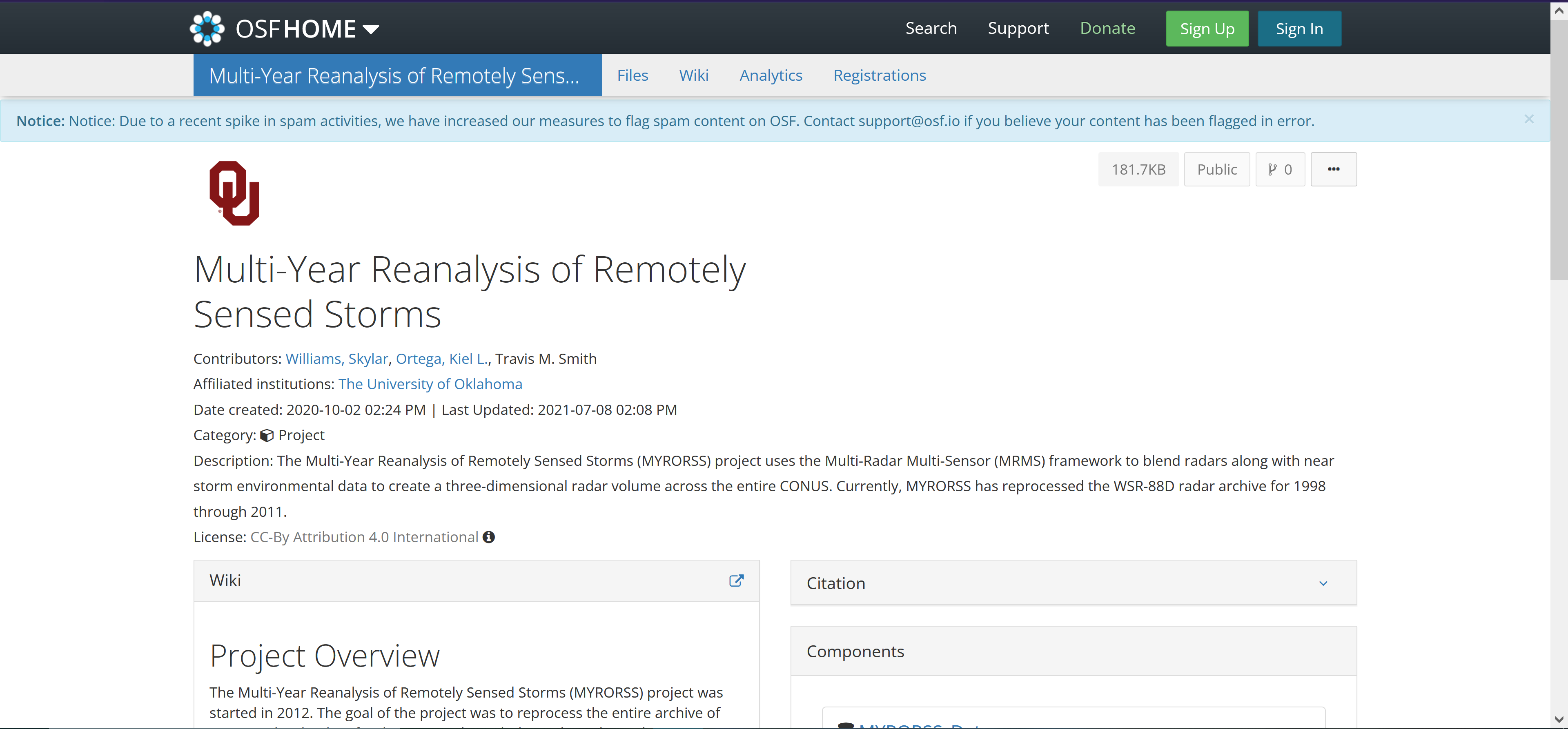
The Multi-Year Reanalysis of Remotely Sensed Storms Project (MYRORSS) combines individual radar data with other sources, like weather models and lightning data, for a more complete picture of storms. MYRORSS data is high-resolution, three-dimensional, and updates more rapidly, unlike some two-dimensional data sets.
link to more info (https://osf.io/8f4v2/)