
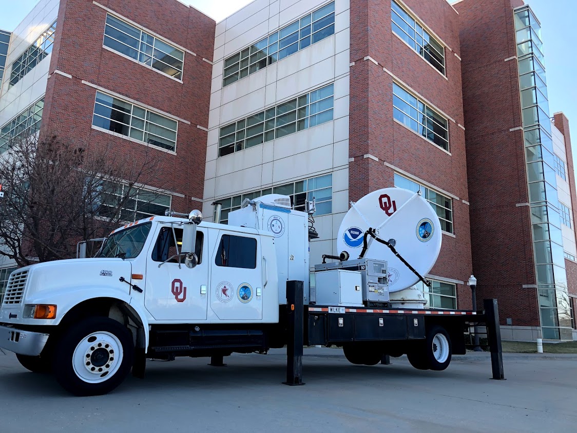
The University of Oklahoma’s Shared Mobile Atmospheric Research and Teaching (SMART) radar team is deploying two mobile weather radars to the northern Gulf Coast to study the landfall of what is expected to become Hurricane Laura. The project is sponsored by the National Institute for Standards and Technology as part of their National Windstorm Research Initiative to develop new building codes for improving the resilience of the built environment including roads, bridges, homes and businesses.
In particular, the radars will be used to map the maximum winds observed during landfall, determine the duration of severe winds at each location within their domain, and evaluate the impact of tornado-like mesovortices, small scale rotational features found in storms created by surface heating. These mesovortices are often found on the inner edge of the eyewall during landfall.
The SMART radars are operated through the Cooperative Institute for Mesoscale Meteorological Studies. Through a partnership with AT&T and The Weather Channel, the SMART radar data will be distributed in real-time and made available to local Weather Service Offices, the National Hurricane Center and Emergency Management.
For more, read the full story on the OU Vice President for Research and Partnerships website.