Please resize your screen in order to view site.

CIWRO News (Page 5)

A map of participants of the Radar & Applications Course-in-the-Cloud (RITC). This graphic highlights the spatial diversity of participants and instructors for three of four RITC workshops. (Graphic provided by Dale Morris

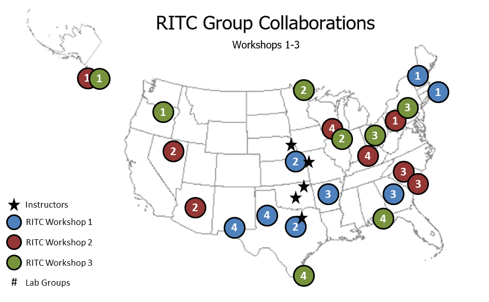
Researchers Utilize the Cloud to Train Forecasters

Researchers and instructors took traditional National Weather Service Forecaster training to the cloud this year, virtually trekking thousands of miles.
go to article
An example of an experimental decision support graphic influenced by WoFS and constructed during one of the 2021 WoFS experiment case studies. (Screenshot) |

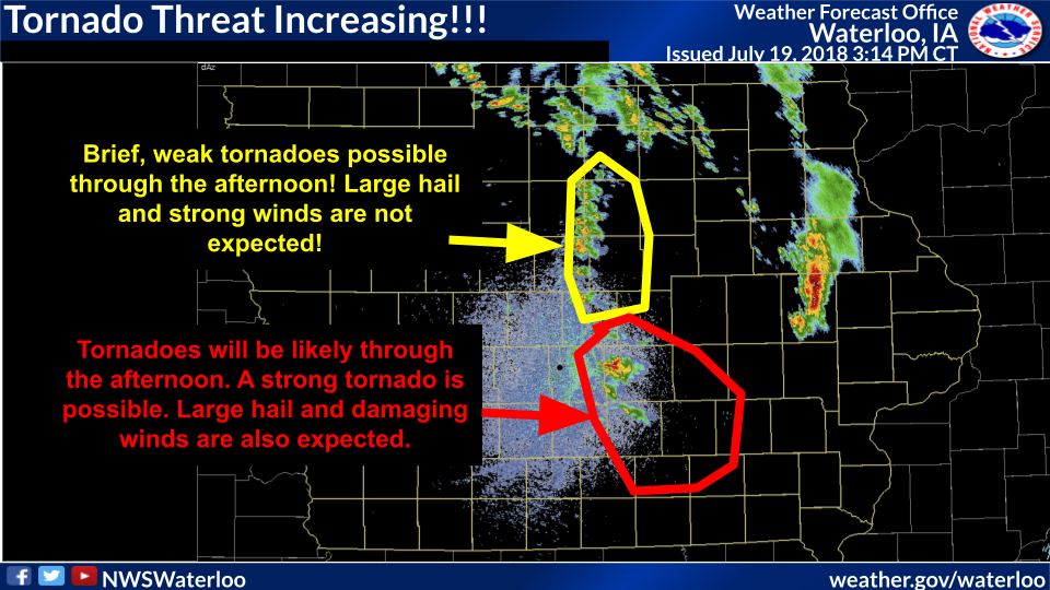
Guest Contributor: WoFS in the Virtual NOAA Hazardous Weather Testbed

The first week of April concluded the 2021 Warn-on-Forecast Testbed Experiment as part of the NOAA Hazardous Weather Testbed. Like many scientific activities, this experiment was delayed and then moved virtually due to the ongoing COVID-19 pandemic.
go to article
Many states experienced the coldest weather in decades. Cold temperatures were accompanied by ice

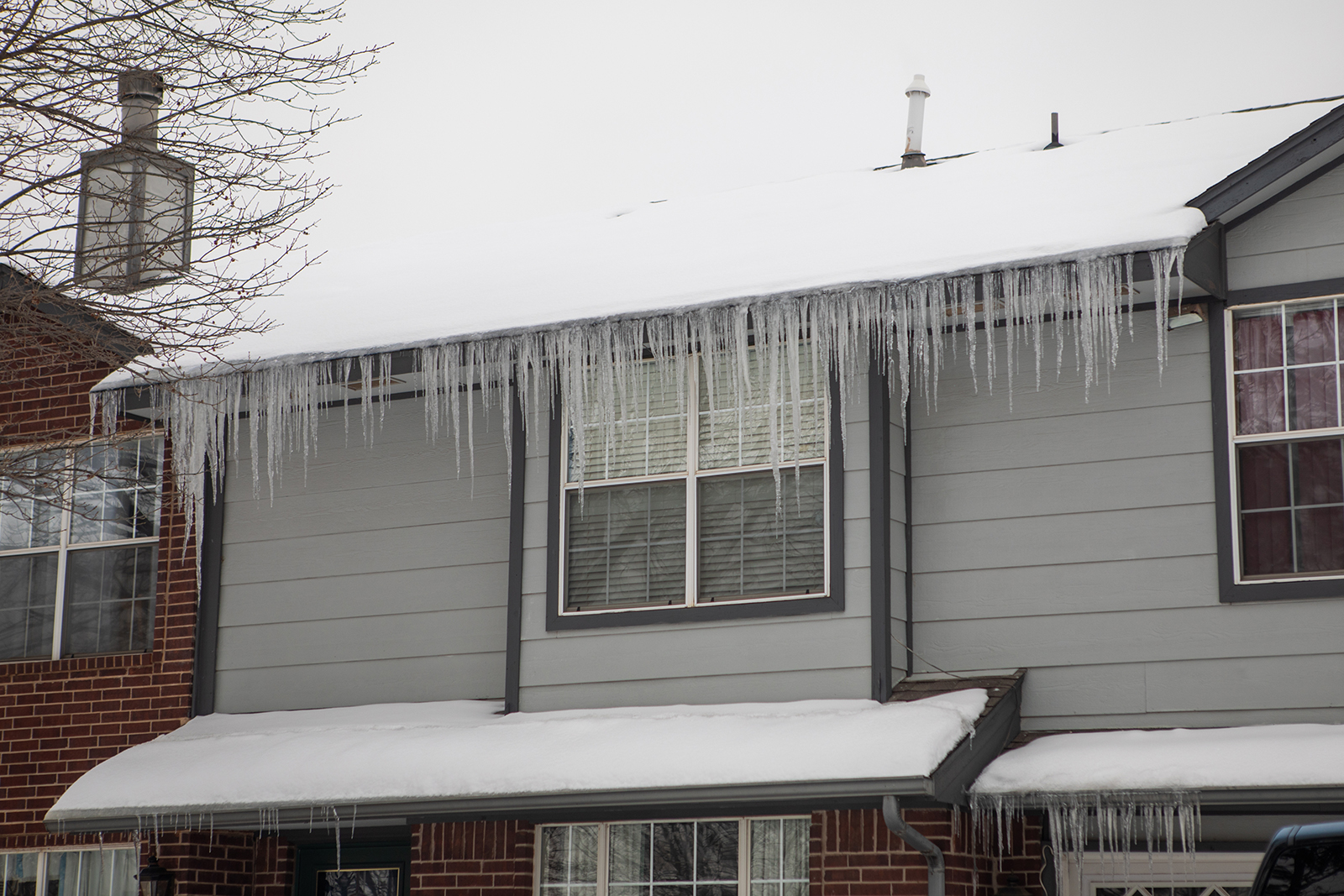
Researchers Developing Experimental Winter Forecasting Tools

Last month, millions of people across the United States were impacted by several inches to feet of snow and the coldest temperatures in decades. Thousands lost power and water, and travel was treacherous as multi-vehicle pile-ups forced interstate shutdowns.
go to article

Researchers Received Awards at AMS, OU

The Cooperative Institute for Mesoscale Meteorological Studies at the University of Oklahoma was in the spotlight at the 2021 American Meteorological Association Annual Meeting, and several other annual meetings.
go to article
A screenshot of an accumulation of azimuthal shear

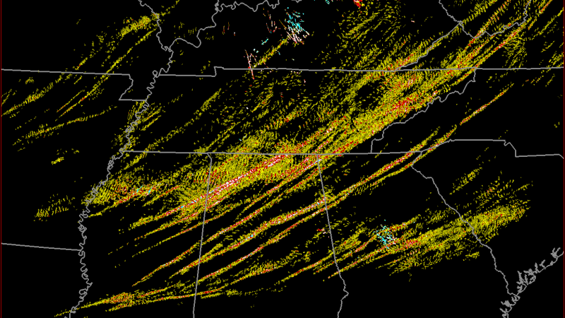
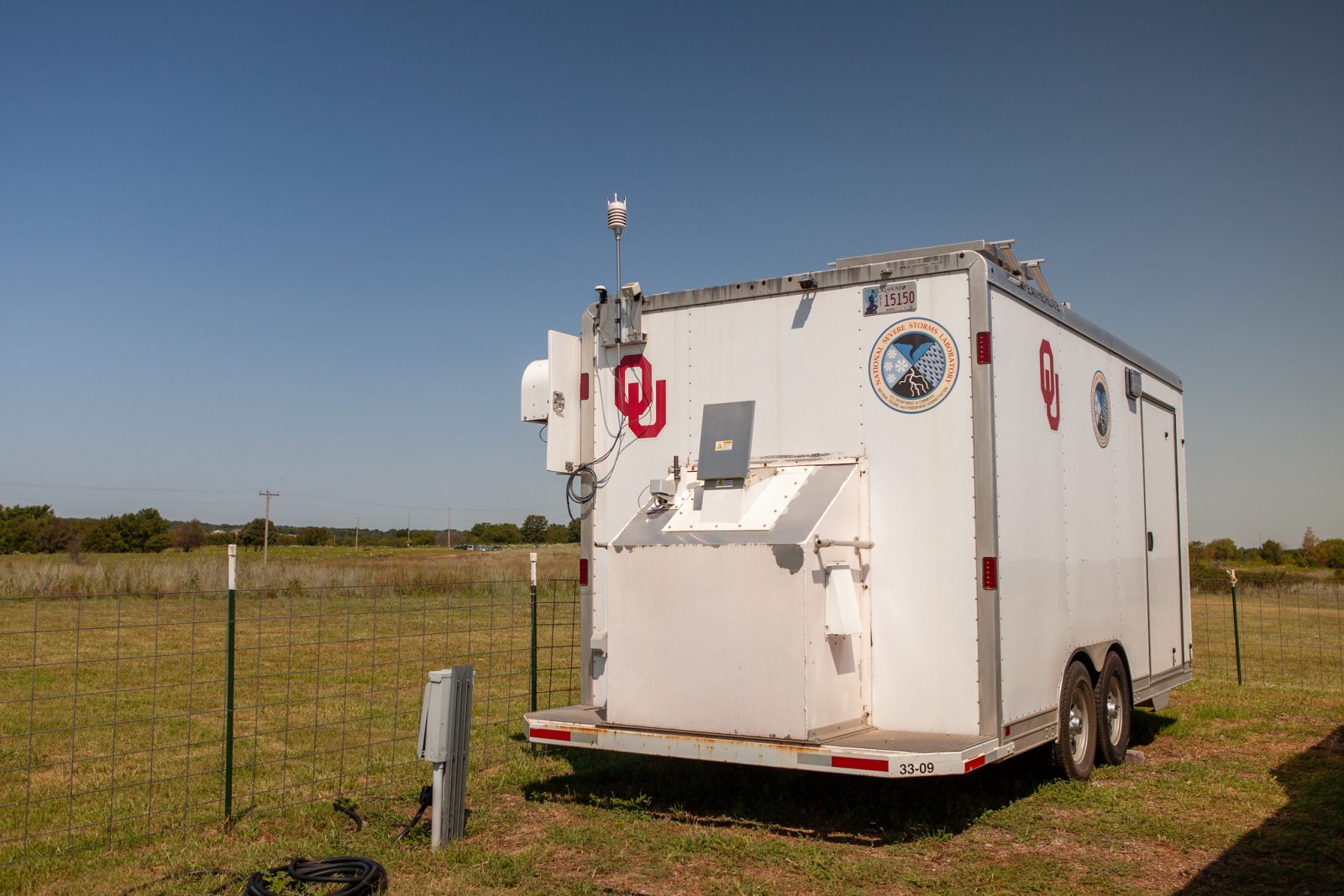
New Data Product Offers a More Complete Picture of Storms

Researchers are excited to announce the release of a new, extensive data product that combines a multitude of data sources to help researchers, forecasters, and weather enthusiasts. The Multi-Year Reanalysis of Remotely Sensed Storms Project, or MYRORSS combines individual radar data with other sources, like weather models and lightning data, for a more complete picture of storms. MYRORSS data is high-resolution, ...
go to article
The Collaborative Lower Atmospheric Mobile Profiling System

Researchers Study Lower Atmosphere to Answer Remaining Questions

While scientists have learned a lot about our planet, questions remain about the lowest part of the atmosphere where we live. Researchers at the NOAA National Severe Storms Laboratory are looking for answers. Utilizing a series of instruments located in a mobile research unit, researchers are analyzing data gathered by those tools to improve severe weather forecasts.The lowest few 1,000 feet of the atmosphere, known ...
go to article